Public weather briefing
After a terribly cold Thursday with clear skies, and temperatures below 20, we look to be warming significantly in the next couple of days. Lows tonight will be in the single digits and below zero wind chill. Friday will warm up significantly and be able to maintain much more mild overnight temperatures with lows holding around 20. By Saturday highs will be in the upper 30s with a chance for snow and possibly light rain on Sunday. Early next week expect high temperatures to stabilize in the upper 20s and partly cloudy conditions will persist.Forecast
Tonight. Clouds begin to move in. Lows sitting around 10.
Friday. Partly sunny with light winds. High of 28.
Friday night. Partly cloudy. Lows up around 20.
Saturday. Partly Sunny and warming. Moderate winds out of the southwest. Highs in the upper 30ls. Low around 25 with clouds moving in overnight.
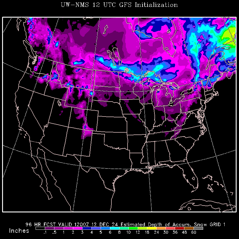
Sunday. Small chance of precipitation in the form of a wintery mix. Cooling overnight in the mid 10s.
Outlook for Monday through Wednesday. Mild temperatures with the possibility of precipitation on Tuesday with warmer temperatures in the upper 20s. Wednesday night looks to bring much cooler temperatures with and overnight low in the single digits. [CONFIDENCE: MEDIUM]
Forecast Discussion
Southwesterly flow
over the mountains will force widespread adiabatic warming, maintaining
moderate temperatures in Central United States. The combination of these
cold and warm air masses will compress the temperature gradient across
the Northern United States, forcing an overturning in the leading edge of the front. This
will support upward vertical motion via a thermally direct circulation and bring a decent chance for
snowfall for the Northern States. Heading into early next week, the temperature gradient will have maxed out and stabilize as it propagates to the east. Stable conditions will follow for the local area with mild temperatures.
Ryan Tvedt
Samuel Hartwick
Samuel Hartwick
Ryan and Sam, good first discussions. It was nice to see you bring in concepts in your dynamical discussion outside the standard QG diagnostics, although I think you could have argued your adiabatic warming point a little more clearly with a sounding. If adiabatic warming is responsible for the warm temperatures in the central US, shouldn't we see a deep, well-mixed layer extending from near the surface?. Be careful to discuss your arguments thoroughly and with enough explanation that your audience can understand what you mean (for instance, a maxed out temperature gradient that stabilized...I have an intuition as to what you are trying to infer, but you should be explicit in your discussion). A final comment that is relevant to both of your discussions, don't just throw up graphics. Explain to the audience what you have provided and how it is relevant to your discussion. If it is not a necessary graphic and cannot be integrated into your discussion naturally, omit it altogether. Take these ideas into consideration for round two and I look forward to seeing what you guys put together.
ReplyDeleteQuestion: Related to the central US temperatures as a result of adiabatic warming. While we haven't discussed mountain meteorology quite yet, I would like to get you thinking. Did you find that the mountainous regions of the US experienced precipitation upstream of the adiabatic warming you pointed out in the central US? If so, can you explain how the precipitation upstream is related to the lee-side warming and, if not, can you explain what else might have occurred in order to achieve the lee-side warming?
Scott,
DeleteSome areas upstream of the adiabatic warming saw a fair amount of precipitation. Our reasoning for why this relation occurs is that as you follow a surface parcel from the west side of the mountain, it will be forced upward adiabatically as it flows to the east over the mountain. This ascent will cause the parcel to precipitate out much of its moisture, thus following a moist adiabat through much of the ascent. As the moisture precipitates out on the lee-side of the mountain, the parcel descends along the terrain. After losing much of the moisture, no evaporation can occur with descent, therefore leading to a dry adiabatic descent. This creates the warming effect we see on the lee-side of the mountains as well as explains the precipitation upstream.