Public weather briefing
The passage of the cold front last night turned out to be drier than initially predicted. Madison received no precipitation at all, but temperatures dropped significantly overnight, with a low this morning of 48 degrees. Winds shifted to out of the west as well bringing significant cold air advection, which will drop the low tonight to around 36. The rest of the week will be much drier and cooler as the cyclone moves eastward and is replaced with a large high pressure system that will dominate much of the central plains and upper midwest. This means winds will be out of the west/northwest throughout the latter half of the week, keeping high temperatures in the upper 40s Wednesday with a chance at 50 on Thursday. Friday sees the development of a weak surface low over the region, which will bring even colder air down from Canada for Halloween weekend. This front brings the possibility for flurries Friday morning, but the rest of the weekend remains dry as the system moves southeast out of the forecast area during the day Friday. Better bundle up for Halloween festivities...it is going to be a cold one once again.Forecast
Tonight. Considerably drier and colder. Mostly cloudy with a low around 36. Winds out of west around 10 mph.
Wednesday. Patches of sun, but remaining mostly cloudy. Northwesterly winds up to 10 mph. Cool with a high around 47.
Wednesday night. Winds begin to die off, becoming calm after sunset. Low of 35.
Thursday. Mostly cloudy with a high of 50. Westerly winds pick up again, up to 10 mph in the evening.
Friday. Best chance for precipitation in the early morning. Very cold, with a high in the upper 30s and the low dipping into the 20s after dark. Much windier, with winds out of north between 15 to 20 mph.
Outlook for Saturday through Monday. Temperatures generally remain seasonable or slightly below average, with Saturday being the coldest day of the weekend. Skies clear Saturday morning, staying dry through Sunday, with a high in the mid 40s. Slight warm up into the start of the work week, with a high Monday of 51. Winds remain much calmer throughout the weekend, gradually shifting to more southerly flow. [CONFIDENCE: MEDIUM]
Forecast Discussion
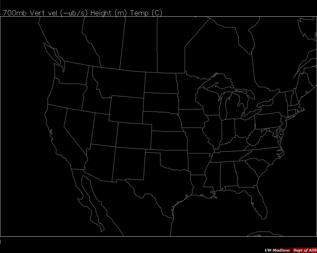
After the passage of the cold front from last night, the rest of the week remains much drier with predominant cold air advection on the back side of the cyclone. The forecast for precipitation was off, as the majority of frontogenesis did not occur until the front passed to the east of the forecast area. A huge ridge lingers to the west for much of the week, producing a broad anticyclone over our area that will lead to widespread weak subsidence throughout the region, seen in the GFS 700 hPa vertical motions (18Z Wednesday shown below). The 850 hPa temperature map shows that the temperatures will stay fairly consistent through most of the week as there is no clear temperature advection by the geostrophic winds occuring anywhere over Wisconsin.
The 300 hPa jet remains weak throughout North America, despite the strong ridge in the 500 hPa geopotential height. Flow will stay out of the west/northwest for the latter half of the week, gradually shifting to out of the north for the arrival of the cold outbreak forecast for Friday morning. This feature already looks to be more significant than initially predicted, with the temperature at 850 hPa at -10 Celsius at 18Z Friday. This means the warmest it could possibly get on Friday, according to this model output, is around 2 degrees Celsius, with temperatures likely even colder in the morning. Additionally, there will be positive differential vorticity advection and a weak maximum in temperature advection in the 900 to 500 hPa layer over our area, leading to ascent by the classical QG omega equation. Madison will also be well north of the 5400m 1000-500 hPa thickness line at that time (much different from the previous forecast), so if precipitation results over the forecast area, it will most likely be snow. However, it appears the maximum in ascent will be east of Wisconsin into central Michigan, so while we may see some flurries Friday morning, Michigan could very well see its first measureable snowfall of the year.
Alex Haugstad
Conner Hardesty
Conner Hardesty
I liked your comments on the cold air Friday. With that strong of cold advection, the best temperatures will probably be able to do Friday is mid/upper 30s especially if there's substantial cloud cover. Frontal passages are a great time to improve upon MOS guidance forecasts. Often the 2m raw temperatures perform better than MOS in these cases. I was looking at these NAEFS anomaly charts we use in NWS Western Region (http://ssd.wrh.noaa.gov/satable/?table_region=nc&plot_region=conus&type=pctl), just to help put the magnitude of this cold air in context. Interesting to note that temps of -8 to -9C are only in the bottom 2.5-10 percentile of the climatology for late October in Wisconsin (http://ssd.wrh.noaa.gov/satable/images/naefs_2014102812_conus_pctl_t_850_78.png). So cold, but not nearly as bad as it could get this time of year. We use these anomaly charts regularly as a situational awareness tool to help identify potential extreme events in the forecast.
ReplyDelete-Chris, NWS Reno, M.S. AOS 1999
Our prediction for this forecast ended up being fairly good, especially with the timing of the cold air coming in on Friday and consequently making things fairly miserable and breezy during the day and night on Saturday. Snow ended up on the ground early on Friday, confirming our suspicion of precipitation during that time. Our prediction for the warm up on Monday was a bit low, not being able to predict the magnitude of the warm air advection that came from the south that made our high at 60 for the day.
ReplyDeleteThis comment has been removed by the author.
ReplyDeleteConner and Alex - Really solid job with this second round of blog posts. In particular, I thought that your discussion of the dynamics throughout and in discussing the pertinent sensible weather affecting the area was well done. Not only did you describe the forcing behind potential precipitation or vertical motions, but you dug into the specifics of the vertical temperature structure, which ultimately is essential if you want to know whether or not snow is occurring. With that said, one way to streamline the presentation of your argument is to only focus on the pertinent features of interest. For example, you mention the 300 hPa jet briefly, but it really doesn't need to be included to communicate what your reasoning is for the forecast. You can definitely be well suited to only focus on the dynamics that best illustrate the point you want to make. In addition, make sure you include what type of precipitation you expect to occur in your forecasts (i.e. Friday I'd like to see you make a call on rain or snow or both). Finally, in your reflections, make sure that you think about what may have caused your underestimate of warm air advection (i.e. was there more solar insolation on a particular day than you expected). Overall, though, really nice job! Fi
ReplyDelete