Public weather briefing
An incoming low-pressure system from Canada will bring with it a slight chance for snow-showers in the forecast area tonight. The frigid cooldown expected for our Halloween Friday will begin around midnight with temperatures dropping from about 43 down to around 35 by 7am. Northerly winds will also begin to pick up around this time to around 30mph, and will maintain this speed throughout the day Friday. Expect clearing skies and cold temperatures, with a high of about 39 and a low down to a chilly 25. Wind chills will exacerbate these below-average temps, making the temperature feel more like 30 in the day and upper teens/low 20's at night. Clear skies and slower northerly wind speeds of around 10mph will dominate the weather Saturday with a high around 40 and a low in the lower 20's, again below seasonal averages. A shift from northerly to southwesterly winds begins bringing warm air to the region by the beginning of next week, bringing temperatures to the upper 40's/lower 50's as well as a moderate breeze of around 12mph. A chance for precipitation also presents itself late Monday afternoon as a surface cyclone centered over northern Minnesota with a frontal zone that extends to Texas begins to pass through southern Wisconsin, with a cold front passing through Tuesday that will cool temperatures down again into early Wednesday. Warm westerly winds will bring up the temperatures to the upper 40's/lower 50's again by late Wednesday afternoon.Forecast
Tonight. Mostly cloudy with clearing skies after midnight, a low near 32. Northwesterly winds increasing to at least 25mph by the early morning hours. 30% chance of precipitation with trace accumulation.
Friday. Clearing conditions early morning will bring about mostly sunny skies and much cooler temperatures with a high around 40. Strong northerly winds up to 35mph could make the temperature feel more around 30.
Friday night. Clear and cold. Low near 25 and weaker winds at 10mph.
Saturday. Clear throughout the day with a high in the lower 40's. Slightly breezy with 10mph northerly winds tapering off to light and variable. Low in the upper 20's overnight.
Sunday. Mostly clear skies with westerly/southwesterly winds around 12mph. High in the upper 40's and a low in the upper 30's.
Outlook for Monday through Wednesday. Expect an increase in clouds as the day progresses Monday with continued westerly/southwesterly winds around 12mph. A high in the low 50's and a low in the low 40's is expected with a 40% chance of showers late Monday afternoon. Tuesday will be cooler once again as a band of cold air moves in through the area with moderate westerly winds blowing in at around 15mph, high in the lower 40's and low in the upper 20's. As the cold front passes, expect warmer temperatures by late Wednesday and into the night.[CONFIDENCE: MEDIUM]
Forecast Discussion
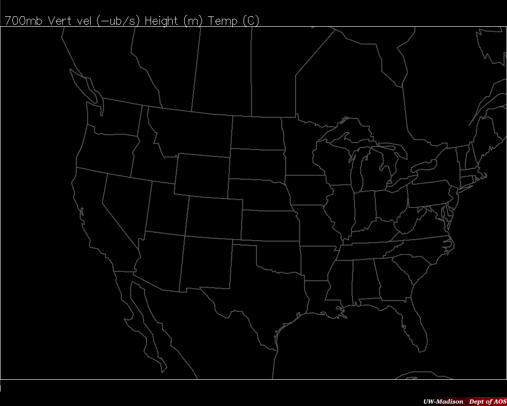
A strong shortwave ridge-trough couplet moving through the area at 500mb will be the primary influence for our weather over the next few days. As the trough axis drops into northern Wisconsin from Ontario it will advect a strong area of positive curvature vorticity that is projected to pass over eastern Wisconsin in the early morning hours Thursday. This will bring us our greatest chance for precipitation by forcing upward vertical motion according to the QG omega equation over the four day period. The GFS model shows oscillating percentages of relative humidity (between 70% and 40%) in the southern Wisconsin area with more humidity to the west than the east, while the NAM model shows a more solid area of consistent relative humidity (around 60%) in the same area. This supports the possibility for cloud formation and precipitation, particularly in the southeastern portion of the state. However, the advection of cold air from the north will work against the vorticity advection by causing subsidence, hence providing some uncertainty as to whether or not to expect precipitation. Consideration of Q-Vectors and their convergence between the 900mb and 700mb levels indicates the likely hood of upward vertical motion over the eastern part of the state at this time. This leaves a good chance for precipitation Thursday night in that area. Forecasing up to .175in of accumulated precipitation by 12z Friday, NAM model seems to agree with this projection. The GFS model, however, shows trace amounts of precip anywhere in the state. The uncertainty from these factors is why our forecast confidence is medium. In any case, with the 5400m thickness line from the 500:1000mb layer extending well south of Wisconsin it is clear that any precipitation will likely include snow showers.

This ridge-trough couplet will continue to advect cold air into the Midwest well into Friday with northerly wind speeds blasting in at a consistent 23 mph. With the trough axis well downstream from us, skies will clear as the localized cold-air advection brings subsidence into the forecasting region. As the ridge axis passes through late Friday night and into Saturday morning we will see a decrease in the pressure-gradient force and thus weaker northerly winds tapering off to around 10 mph, finally minimizing to light and variable winds as the center of the ridge enters the area mid-day Saturday. Skies will remain clear with a slight warm-up Sunday as the ridge passes through and advects southwesterly wind at around 10 mph. This wind will persist into Monday, where the NAM model shows an upper-level trough moving into the region. This will cause divergence aloft due to curvature acceleration downstream of the trough axis. Positive vorticity advection into the northwestern part of the state supports possible vertical motion in that area, bringing clouds and possible precipitation later in the day. Finally, Tuesday will see another cooldown as a band of cold air extending south from a Canadian cyclone passes through the area with westerly winds blowing in at around 15 mph. Following the cold front will be some warm temperature advection from westerly winds late Wednesday driven by a short-wave trough to the northwest.
Cody Kuchinski
Craig Oswald